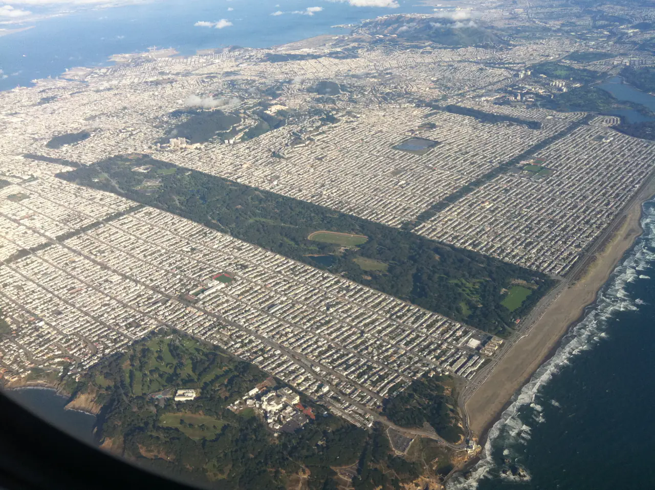
Aerial view of Golden Gate Park and the Sunset and Richmond districts, July 2011. Photo: Hispalois · Source · CC BY-SA 3.0
Golden Gate Park is a rectangle about three miles long and half a mile wide, running from Stanyan Street in the east to Ocean Beach in the west, with the narrow Panhandle extending east. Here is how it is laid out.
Updated · Independent visitor guide
Swipe sideways to see the whole park, west (left) to east (right).
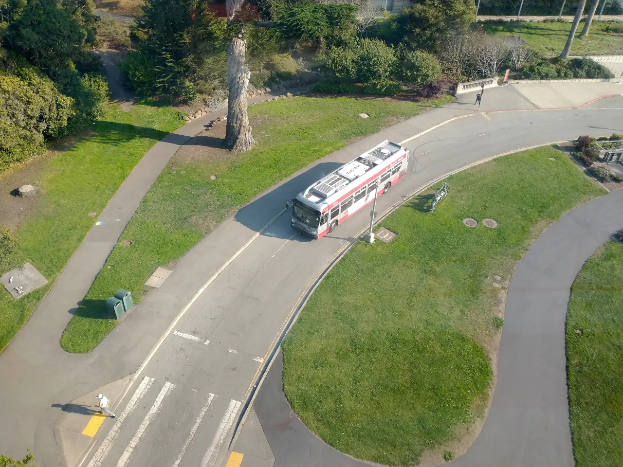
Two main roads run the length of the park: John F. Kennedy Drive on the north side (car-free in its eastern section) and Martin Luther King Jr. Drive on the south side. Cross streets on the city grid, from Stanyan Street and Arguello Boulevard to the numbered avenues, line the north (Fulton Street) and south (Lincoln Way) edges, so you can always find your position by avenue. Park Presidio Drive and Crossover Drive cut north-south through the middle.
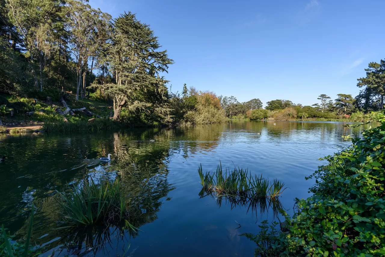
From about Tenth Avenue to Crossover Drive (around 25th Avenue): Blue Heron Lake and Strawberry Hill, the Rose Garden, Lloyd Lake and the Portals of the Past, Rainbow Falls, the Polo Field and Hellman Hollow, Lindley Meadow and the main festival grounds.
The west end
From Crossover Drive to the Great Highway: Spreckels Lake, the bison paddock, Marx Meadow and disc golf, the Chain of Lakes, the golf course and archery field, the fly-casting pools, the Dutch and Murphy windmills, the Beach Chalet and Ocean Beach.
Frequently asked questions
How long is Golden Gate Park?
About three miles from Stanyan Street to the Great Highway, plus the half-mile Panhandle to the east.
Where is the main area of Golden Gate Park?
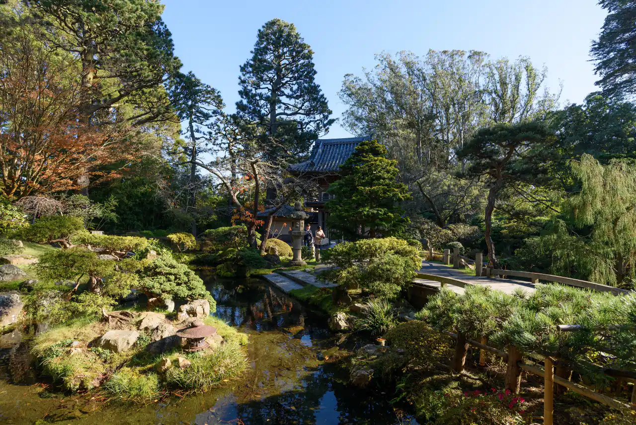
The Music Concourse near Ninth and Tenth avenues, with the de Young, Academy of Sciences and Japanese Tea Garden.